Crew Field Guide
Subject
Issued
HQ, Des Moines77.8 mi, as the crow flies Ottumwa Regional Health CenterIndian Hills Community CollegeJohn Deere Ottumwa WorksUS-63 Business / IA-149US-34 / US-63US-34 / US-63 BusinessUS-63 / IA-163US-63US-34Chief Wapello TrailDes Moines River N
- HQ
- Landmark, tap to read
- Drive route
- As the crow flies
01Straight-line distance from our Des Moines HQ to Ottumwa
77.8miles
02How we get to Ottumwa
- IA-163 to US-63
- Southeast on 163 to Oskaloosa, then south on 63 into Ottumwa, about 90 minutes.
- US-34
- East-west through the south side, crossing the river downtown.
- The river
- The Des Moines River splits the city in two. The bridges are the pinch points on a work day.
03What you'll find in Ottumwa
- Bluff-top historic districts. Ottumwa peaked at nearly 34,000 residents in 1960, and Court Hill and Vogel Place have basements dug partly into the hillside.
- One wall fully buried. Soil presses on the uphill side, so gas enters through that wall and the sump, not just the floor.
- Vacant and older housing. The 2020 census counted 11,254 housing units with 10.3% vacant, many of them sales that need a test.
04Typical radon services in Ottumwa
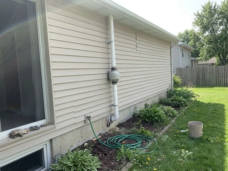
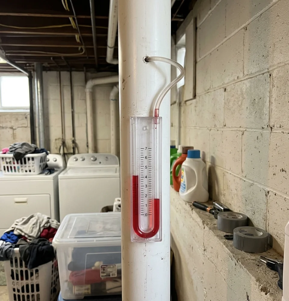
- Residential radon mitigation Suction placed to cover the uphill side, walls and sump sealed, the pipe run up the downhill wall.
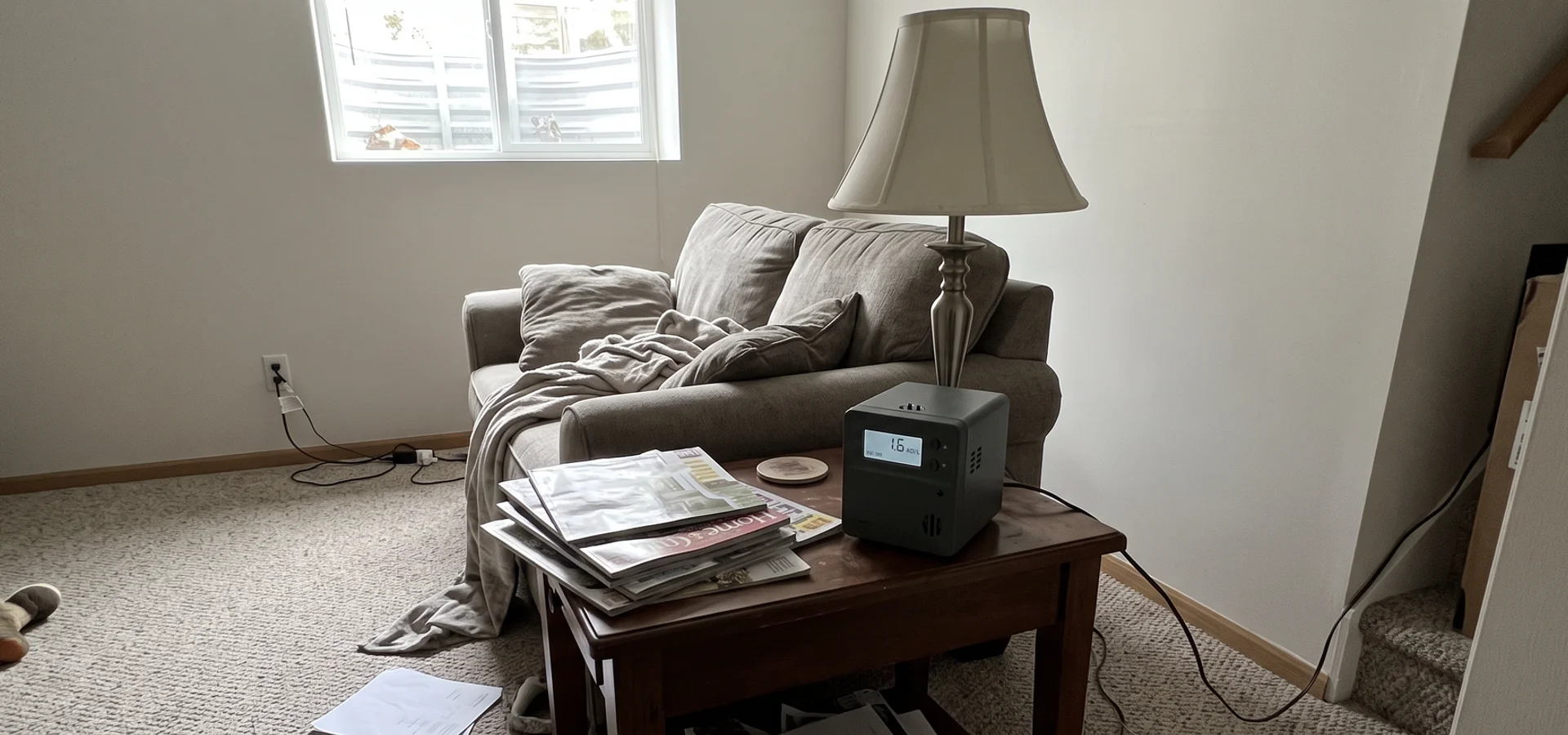
- Radon testing A 48-hour continuous monitor, grouped with the other Wapello County visits.
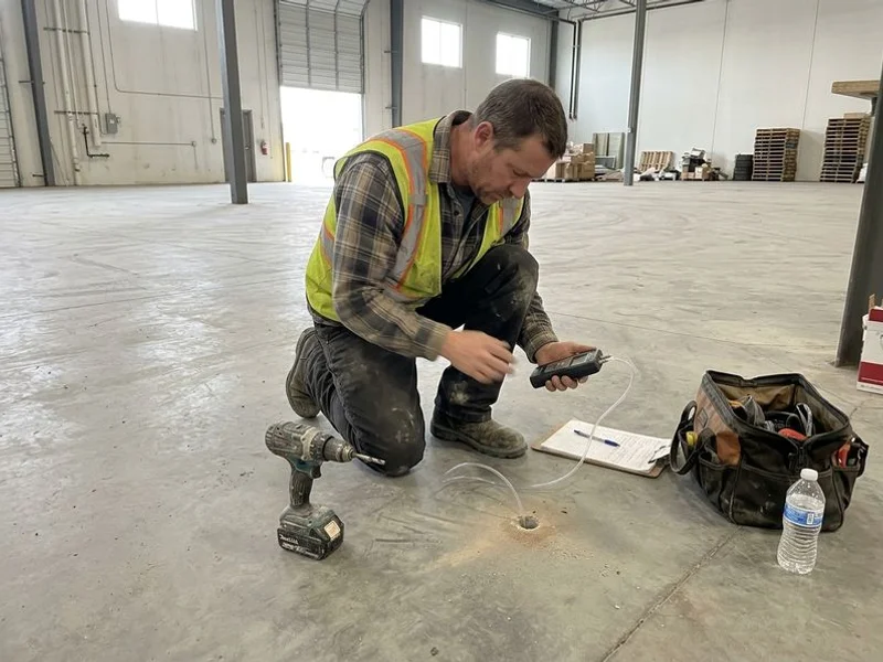
- Commercial radon systems Commercial buildings on both sides of the river, including the industrial south side.
05Ottumwa landmarks, lunch in the alley and the Des Moines River
- Landmarks The Court Hill, Vogel Place and North Fellows districts climbed the bluffs after the railroad arrived in 1859. (Wikipedia)
- Lunch Canteen Lunch in the Alley at 112 E 2nd St has served loose-meat sandwiches since 1927, under a parking ramp since 1936. Order a canteen and a slice of pie. (Wikipedia)
- Water The Des Moines River splits Ottumwa into northern and southern halves, and the bluffs on the north side are where the old houses are. (Wikipedia)